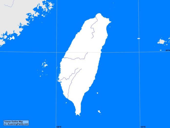
The Taiwan outline map is provided. The outline map includes a list of neighboring countries, major cities, major landforms and bodies of water of Taiwan.
A student may use the blank map to practice locating these political and physical features.
Features of the Taiwan Outline Map
Neighboring Countries
- China
Major Cities
- Taipei (capital)
- Changhwa
- Chiayi
- Chungli
- Fengshan
- Fengyuan
- Hsinchu
- Hsintien
- Hualian
- Kaohsiung
- Keelung
- Nantou
- Pingtung
- Taichung
- Tainan
- Taitung
- Taoyuan
- Touliu
- Yuanlin
- Yungkang
Bodies of Water
- East China Sea
- Pacific Ocean
- South China Sea
- Taiwan Strait
Major Landforms
- Alishan Mountains
- Central Mountains
- Danshui River
- East Coast Mountains
- Gaoping River
- Green Island
- Jianan Plain
- Kinmen Island
- Lanyu
- Liuchiu Island
- Penghu Islands
- Pingtung Plain
- Taipei Basin
- Wuchiu Island
- Xue Mountains
- Yushan
- Zengwen River
- Zhushui River

