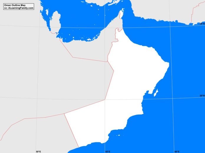
The Oman outline map is provided. The outline map includes a list of neighboring countries, major cities, major landforms and bodies of water of Oman.
A student may use the blank map to practice locating these political and physical features.
Features of the Oman Outline Map
Neighboring Countries
- Bahrain
- Iran
- Pakistan
- Qatar
- Saudi Arabia
- United Arab Emirates
- Yemen
Major Cities
- Muscat (capital)
- al-Buraymi
- al-Haburah
- al-Mudaybi
- at-Rustaq
- as-Sib
- as-Suwayq
- Bahia
- Hasab
- Ibra
- Matrah
- Nizwa
- Qurayyat
- Saham
- Sinas
- Suhar
- Suma’il
- Sur
Bodies of Water
- Arabian Sea
- Gulf of Oman
- Masirah Gulf
- Persian Gulf
- Strait of Hormuz
Major Landforms
- Al-Batinah Plain
- Al-Hajar Mountains
- Jabal Shams
- Jiddat al-Harasis Desert
- Masirah Island
- Musandam Peninsula
- Qara Mountains
- Sharqiya Sands Desert
- Umm Al Samim Basin

