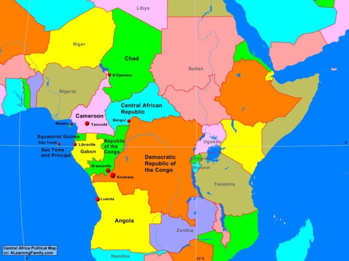
The Central Africa political map is provided. The political map includes a list of neighboring countries and capital cities of Central Africa.
A student may use the blank Central Africa outline map to practice locating these political features.
Features of the Central Africa Political Map
Neighboring Countries
- Burundi
- Libya
- Namibia
- Niger
- Nigeria
- Rwanda
- Sudan
- Tanzania
- Uganda
- Zambia
Countries and Capitals
- Angola (Luanda)
- Cameroon (Yaounde)
- Central African Republic (Bangui)
- Chad (N’Djamena)
- Democratic Republic of the Congo (Kinshasa)
- Equatorial Guinea (Malabo)
- Gabon (Libreville)
- Republic of the Congo (Brazzaville)
- Sao Tome and Principe (Sao Tome)

